Stevens Pass, January 2009
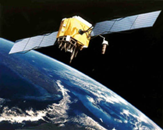
Ahhh yes, GPS - the global positioning system. With a GPS receiver you can get navigation data through the use of over two dozen satellites operating in six 12-hour orbital planes. Each satellite signal transmission includes timing information and orbital almanacs.
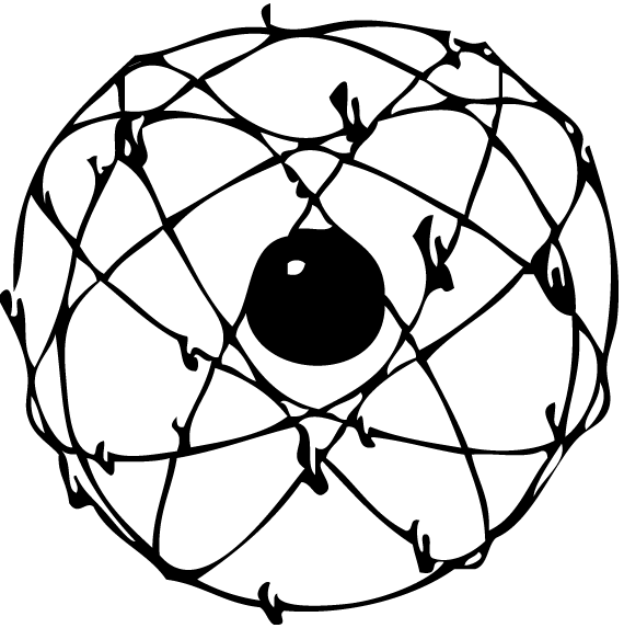
The satellite transmission must pass through a part of the Earth's atmosphere that affects radio propogation called the ionosphere. Unfortunately the frequency passes well through the ionosphere but does not pass well through solid objects. A clear line of sight with several satellites must be maintained for effective GPS communication.
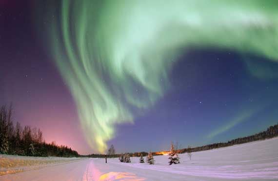
Enhancing GPS accuracy is possible by using dual-frequency measurements to calculate ionospheric time delay errors. Ground based reference stations in the Wide Area Augmentation System (WAAS) further improve the accuracy and availability of GPS. Future upgrades to the satellites will include support for a high power spot beam to focus on a specific region of the Earth.
Marc Singer directed Dark Days from within a very special community. He filmed life and time inside a rarely used train tunnel. Dystopian housing in the tunnel provided power and water which made life more sustainable than on the street. The indigenous cast also formed a crew to help with the camera, lights, and sound. Learn a way of living.
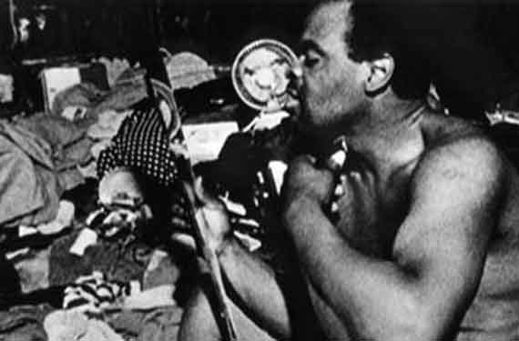
The community of people gathered inside the Riverside Park train tunnel to escape the oppressive environment of the park above. The tunnel was built in the 1930s but rarely used until Amtrak started in the 1990s. These strong citizens of New York lived by salvaging power, water and other critical resources to survive. Murals lit by ventilation ducts cover the concrete walls.

Dark Days: A narrative of environmental adaptation
Dark Days: The ultimate underground film
Once upon a time my dad saw a film of a wild skier who was the first to ride Mount Everest. After years of searching I finally discovered some video clips on the web and the release on DVD. Enjoy learning about the man, mountain, and documentary video.
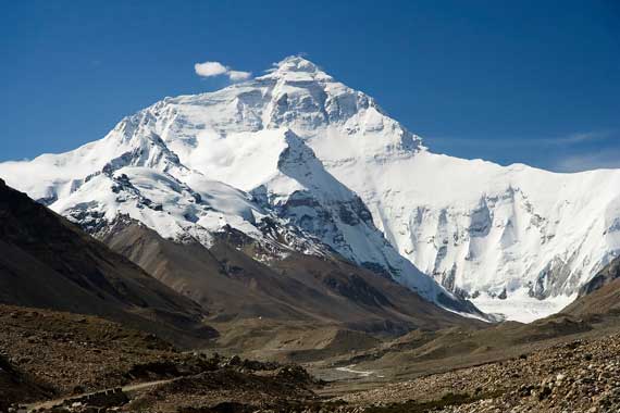
Mount Everest stands tall in the Himalayan range of High Asia. The English named the mountain for George Everest who surveyed the range in the 1840s. However, the people of Tibet have called the mountain Qomolangma since the 1720s. Quomolangma represents the mother goddess of the Earth in Tibetan language. Because this is the tallest mountain on Earth, many adventurers have set out on a quest to the summit.
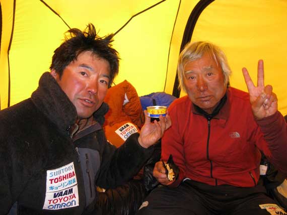
Yuichiro Miura is The Man Who Skied Down Everest in 1970. With a 35mm film crew, scientists and sherpas, he climbed the highest peak in the world only to ski down it. This documentary is the first extreme ski movie. He rode 6,600 vertical feet in 140 seconds, fell 1,320 feet and then stopped 250 feet from the bergschrund. Miura continued to challenge himself and became the oldest person to summit Everest in 2003. Unfazed from two surgeries to control atrial fibrillation as a result, he again stood atop Everest in 2008 at age 75 with his son Gota.
The Man Who Skied Down Everest DVD at Amazon
Muira Qomolangma 2008 Project expedition diaries and biometric data
Yuichiro and Gota Miura summit Everest in 2008 news
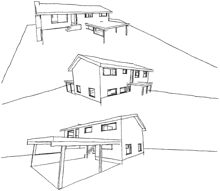
I modeled a house in virtual reality. My notes on the survey of existing conditions and benefits of software drafting. Enjoy!
Starting with a pencil, notepad, and several different length tape measures, I took dimensions. Sketched the exterior dimensions of the building, foundation, and carport. Next I measured the interior dimensions of the rooms and windows. Estimating the pitch of the roof I derived its dimensions. Finished up my notes with the front porch and back deck.
I turned to the SketchUp environment for three-dimensional modeling on my Mac. The 'push-pull' tool to transform two dimensional objects into the three dimensions is great. I used the 3D inferencing feature to make sure my input was correctly aligned. I learned to create components, groups, and layers to manage the objects in my model.
Story goes that Mike D would call for tips...
Beastiemania interviews Kutmasta Kurt
Amoeblog interviews Kutmasta Kurt
Kutmasta Kurt runs Threshold Recordings


Recent Comments